Lavancher to Chalets de la Pendant Loop
Our Rating
6
Above Average
Watch the Full Video on

Length
10.09km

Elevation + / -
806m / 806m

Altitude Range
1207m / 1844m

When to go
Start Jun - Mid Oct
Hike duration
3.0 - 5.0 Hours

Run duration
1.5 - 2.0 Hours

Technical level
Difficult

Natural beauty
Nice

Families
12+ Years old

Dogs
Dogs Allowed

Provision Sources
1 Snack Bar

Trail type
Loop
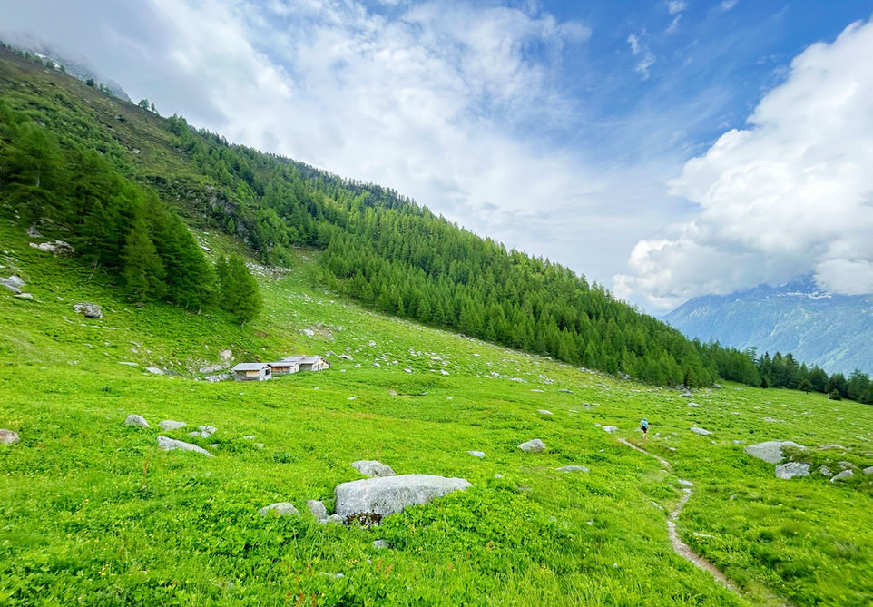
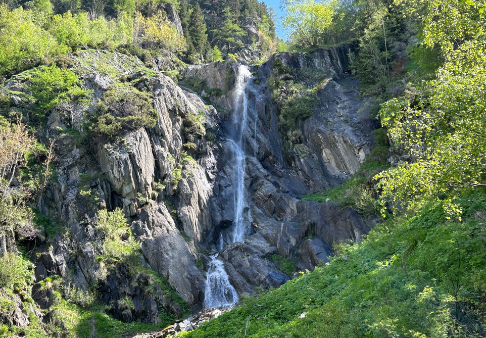
This trail is a nice discovery route for the Montagne de la Pendant. It starts of at Le Lavancher from where we use the Petit Balcon Nord and then at les Chosalets we start the climb up to the open pastures of the Chalets de la Pendant below the Montagne de la Pendant. From there we move to the Tete des Prapators and reach a nice cliff view point of the Mer de Glace before our steep decent to the Buvette de Chapeau and the Cascade du Chapeau before completing our loop and returning to Le Lavancher.
This trail easily be done in the opposite direction by going counter clockwise and starting of towards Le Chapeau. The steepest climb and most technical terrain is between Chapeau and the Tete des Prapators . You might prefer chosing this for the uphill. We prefer going clockwise for the better views.
Video of this Trail
We have made a video presentation for this trail. The video will provide full 3D fly over of the route and then give a great overview of the experience you can expect when you take on this trail. It is a great way to quickly understand if this is the perfect trail for you. Please visit our channel on YouTube and like the video and subscribe to our channel. Putting together these videos is a lot of work!
Photos of this Trail
Below are all the photos we have in our Chamonix Photos collection for this point of interest. All our photos are tagged with the GPS coordinates and linked to the trails that you can take to find the location where the photo was taken. So if you want to see the full details for a specific photo then just click on it.
Trail Directions & Safety Considerations

Risk Considerations & Difficulty Assessment
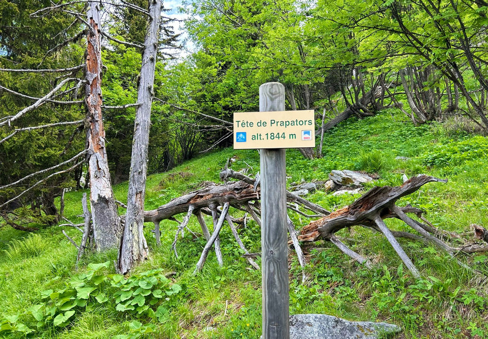
This trail reaches an altitude of 1844 meters at the Tete des Prapators. It should be snow free from early June to mid October but check local conditions ahead of time. The part between Le Chapeau and the Tete des Prapators is very steep with some ladders and hand supports and should not be tried in snow cover. The rest of the trail is not difficult. The trail is very easy to navigate with clear trail markers for each junction.

Children
12+ Years old

Dogs
Some pretty technical bits on the climb up from Chapeau. The Chalets de la Pendant often have sheep dog guarding the flock. Just be aware of these things if you bring your dog.

Trail Starting Point
The trail starts at Le Lavancher, a small hamlet about 5km north east from Chamonix. There is a large car park at the top of the hamlet near the Chalets de Philippe. There is a bus stop at the bottom of the Le Lavancher along the D1506 main road. This would require an easy walk up to the Petit Balcon Nord from where you can continue the trail as we describe it here. The nearest train station is at Les Tines from where a fairly steep path can take you up to the top of Le Lavancher.

Trail Directions
We start at the hamlet of Le Lavancher from where we move in northern direction on the Petit Balcon Nord in the direction of Argentiere. At the top of the small climb at Les Chosalets you will see a trail marker indicating the Croix de Lognan. Cross the little stream and take this path which will zigzag steadily up the mountain. At the next trail marker take the trail in the direction of the Alpage de la Pendant. You will pass by the Chalets de la Pendant and re-enter the forest where you will see a junction. Take the trail that says Prapator and Le Chapeau. You will soon reach the Tete des Prapators which has its own marker. This is where the steep descend towards Le Chapeau begins. You will up with the little trail that leads to the view point of the Mer de Glace a little east from Le Chapeau. The views you just had from the top are better so we recommend you skip the view point and go straight for the Buvette du Chapeau. From there its an easy walk and clearly marked back to Le Lavancher.
Points of Interest
Our hiking and trail running trails around Chamonix are chosen for their natural beauty and variety. We also always try to combine as many sights, attractions and points of interests as possible in our trails. Below you will find a list of the points of interests linked to this trail.


