Length
4.56km

Elevation + / -
226m / 226m

Altitude Range
1358m / 1536m

When to go
End Apr - End Oct
Hike duration
1.5 - 2.0 Hours

Run duration
45 - 75 Mins

Technical level
Easy

Natural beauty
Nice

Families
4+ Years old

Dogs
Dogs Allowed

Provision Sources
Restaurants at Le Tour

Trail type
Loop
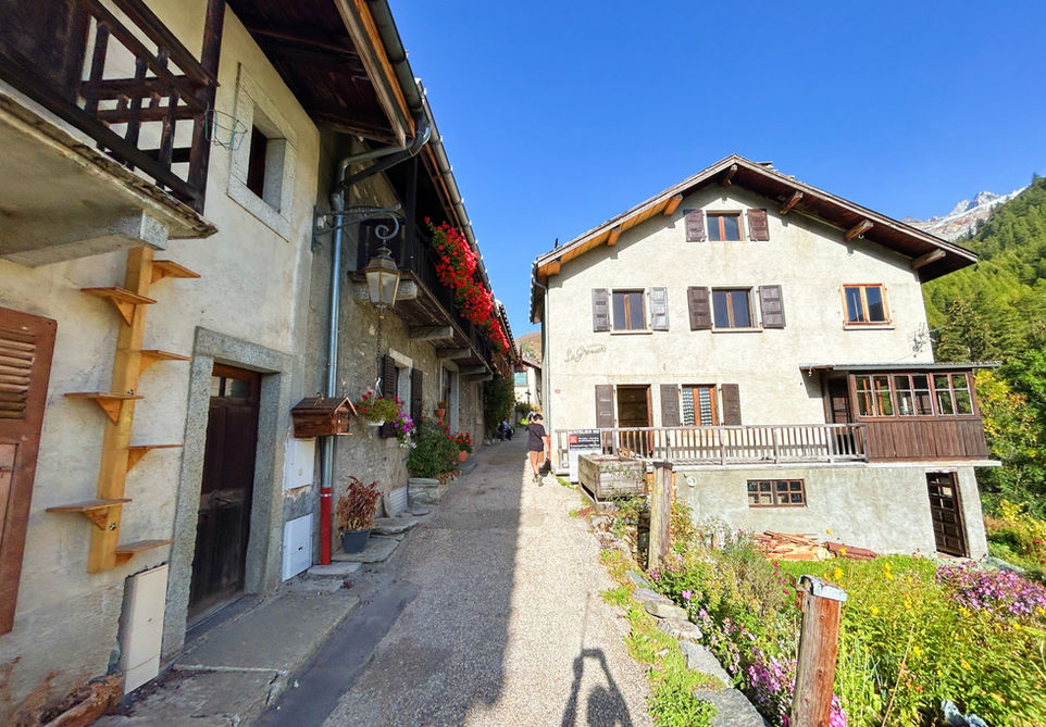
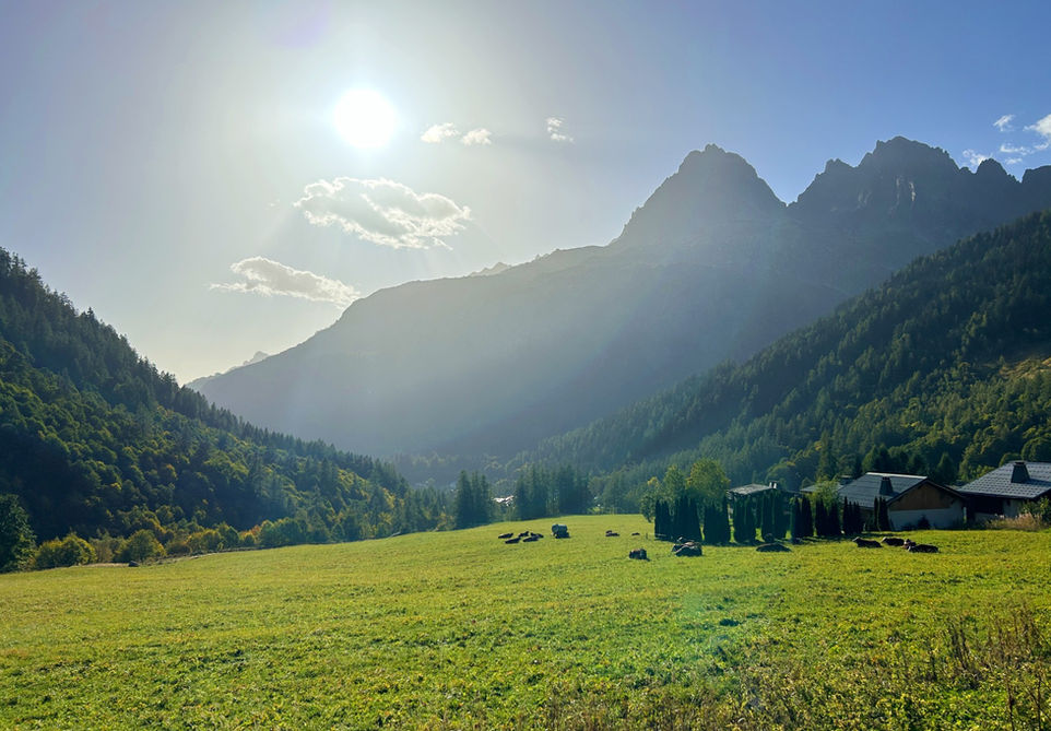
This is one of our favorite family walks with the perfect length, elevation gain and a nice variety in scenery. This walk never gets too strenuous or monotonous and kids should have a great time here. The trail starts at the northern of the Chamonix valley at the hamlet of Le Tour. The Chapelle du Tour is a nice little chapel which is typically open from spring to autumn. There are water fountains and in summer and winter the restaurants near the Charamillon lift station will be open. From Le Tour, we head north and cross a field and head into the forest. Along this path you will have some nice views into the Chamonix valley. We then pass by a nice area with a wooden cross and chalet at Le Chenavier. Shortly after you will start descending towards Tre-le-Champ and reach a place with a nicely situated wooden chalet perched on a hill with a collection of wooden totem carvings nearby. If you are looking for a place to eat then you head further down into Tre-le-Champ and visit the Auberge la Boerne. After Tre-le-Champ, we proceed down back to the valley floor at the hamlet of Montroc. There are some nice old buildings here and also two water fountains. We then cross a bridge and make our way back to Le Tour with some views of the Glacier du Tour on the way.
This trail is easy to adjust to suit your needs. You can start it in Montroc if you are coming by train. You could also easily combine this with the other trails we have in the area. If you want to add a little bit more then we would suggest making your way to Le Planet from the Montroc-Le Planet train station and using the Petite Balcon Nord to head back to Le Tour.
Video of this Trail
We have made a video presentation for this trail. The video will provide full 3D fly over of the route and then give a great overview of the experience you can expect when you take on this trail. It is a great way to quickly understand if this is the perfect trail for you. Please visit our channel on YouTube and like the video and subscribe to our channel. Putting together these videos is a lot of work!
Photos of this Trail
Below are all the photos we have in our Chamonix Photos collection for this point of interest. All our photos are tagged with the GPS coordinates and linked to the trails that you can take to find the location where the photo was taken. So if you want to see the full details for a specific photo then just click on it.
Trail Directions & Safety Considerations

Risk Considerations & Difficulty Assessment
This route reaches an altitude of 1536 meters and should be snow free from the end of April to the end of October. Even with a certain level of snow cover this trail should be faily doable. The trails themselves are well marked and it will be easy to navigate and orient yourself as you are basically just making a loop around the two sides of the same valley.

Children
4+ Years old

Dogs
We recommend to keep your dog on a leash

Trail Directions
At Le Tour make your way to the trail marker at the southern end of the big Le Tour ski area parking lot. Head up this bank and turn left and go westwards at the junction. Make your way Le Chenavier. At Le Chenavier the trail will split but they will merge again so either path is fine. At the next junction follow the trail for Tre-le-Champs and head down the hill. You will come out of the forest and see a chalet perched on a hill side. On your right, in front of the chalet, are some wooden totem carvings. Head south-east and then turn right and pass by the chalet on the hill keeping the chalet on your right. At the next junction head down the hill to Les Frasserands. You will meet the main road and head east to the Montroc-Le Planet train station. Pass the train station and turn left on the main road. Take the first right and head into the Chamin Paul a Ya. There will be two water fountains along this old street. Turn right at the Chemin du Gragni and take the trail that leads down to the river and bridge. Cross the river and the trail will bend southwards. At the junction above the river bank turn left and head north towards Le Tour. You will cross another bridge. Keep heading north and turn left, westwards towards Le Tour and the start of the trail.
Points of Interest
Our hiking and trail running trails around Chamonix are chosen for their natural beauty and variety. We also always try to combine as many sights, attractions and points of interests as possible in our trails. Below you will find a list of the points of interests linked to this trail.


