Length
3.47km

Elevation + / -
206m / 206m

Altitude Range
1090m / 1274m

When to go
Mid Apr - End Oct
Hike duration
1.0 - 1.5 Hours

Run duration
25 - 45 Mins

Technical level
Easy

Natural beauty
Nice

Families
4+ Years old

Dogs
Dogs Allowed

Provision Sources
Nearby but not on trail

Trail type
Loop
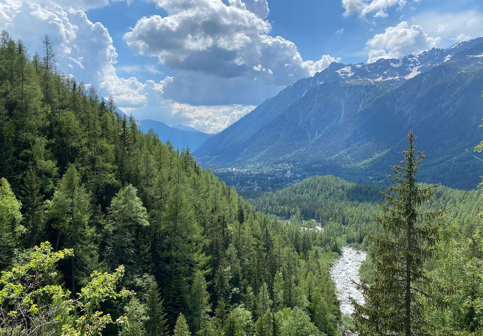
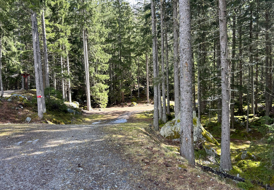
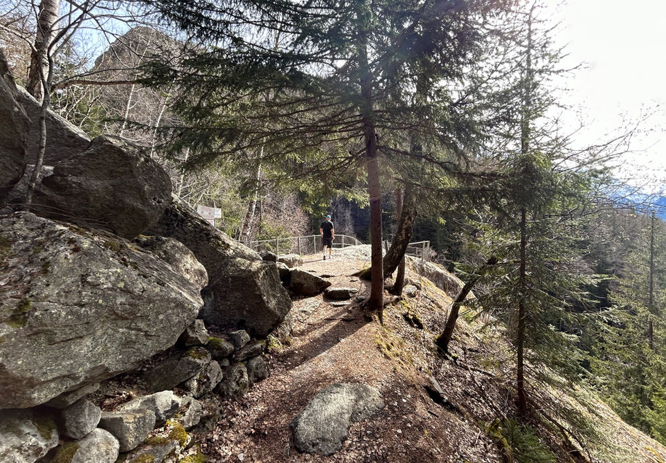
Les Bois has beautiful forest trails which are very popular with locals and tourist alike. The Mer de Glace glacier used to reach all the way into the valley near Les Bois and the glacier has shaped the land and brought down big boulders making that area into arguably the most beautiful forest in the valley. Think large moss covered boulders and rock formations in a beautiful pine forest.
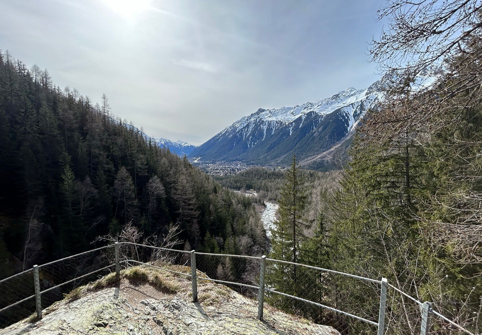
In the winter the majority of the wider trails in Les Bois are turned into cross country skiing pistes. There also marked snowshoeing trails. There are many trails and little routes you can make for yourself in Les Bois and you never to worry too much about taking a wrong turn. This particular trail is a short loop which in my combines some of the best trails in Les Bois with a nice viewpoint at Les Sources de l'Arveyron. This is a big rock with protective fencing which offers very nice views into the Chamonix valley and the mountains across and it also gives nice view into the Arveyron as it is formed at the exit of the Mer de Glace hundreds of meters above it. The crest walk over the Cote du Piget is probably my favorite in Les Bois. All in all, a very nice family and dog friendly trail at low altitude with beautiful forest and a nice viewpoint.
Video of this Trail
We have made a video presentation for this trail. The video will provide full 3D fly over of the route and then give a great overview of the experience you can expect when you take on this trail. It is a great way to quickly understand if this is the perfect trail for you. Please visit our channel on YouTube and like the video and subscribe to our channel. Putting together these videos is a lot of work!
Photos of this Trail
Below are all the photos we have in our Chamonix Photos collection for this point of interest. All our photos are tagged with the GPS coordinates and linked to the trails that you can take to find the location where the photo was taken. So if you want to see the full details for a specific photo then just click on it.
Trail Directions & Safety Considerations

Risk Considerations & Difficulty Assessment
This route reaches an altitude of 1274m and should be snow free from April to October at least. In winter large parts of Les Bois are reserved for cross country skiing but there are always pedestrian trails available too. The trails are well marked and there will be trail markers for reaching the Source de l'Arveyron. One problem will be that there are so many parallel trails running through Les Bois. So making sure you are on the right one to reach the Source de l'Arveyron can be a bit tricky. The trails themselves are fairly typical for low altitude walks in Chamonix. There will be some rocky parts and a lot of tree roots but overall an easy trail.

Children
4+ Years old

Dogs
We recommend to keep your dog on a leash

Trail Starting Point
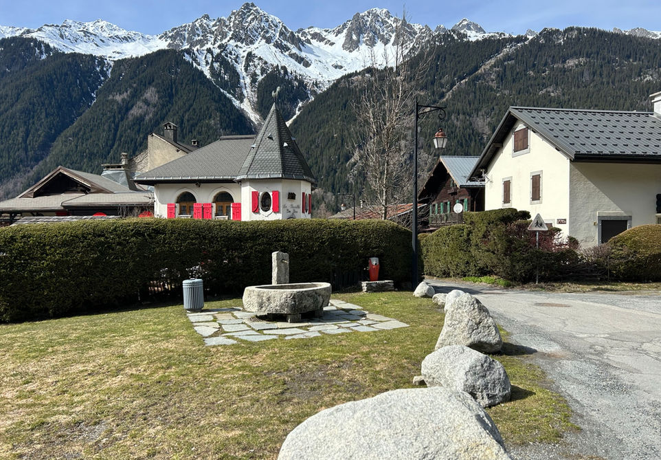
The trail starts at Les Bois. There is a little parking area and a water fountain. You can start this walk from many other locations including walking here from Chamonix or combining it with the Petit Balcon Nord which runs between Chamonix and Le Tour.

Trail Directions
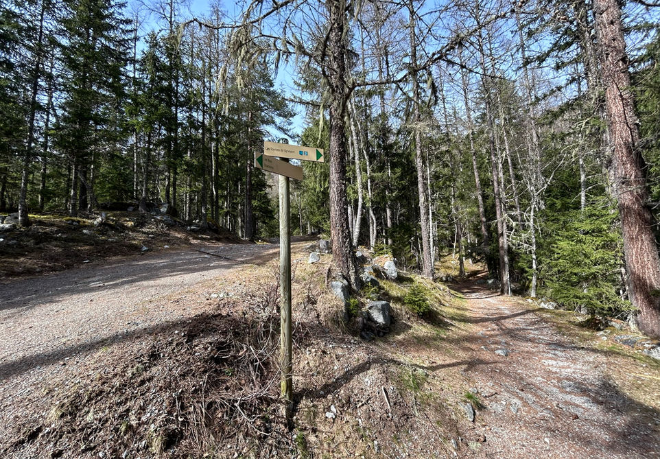
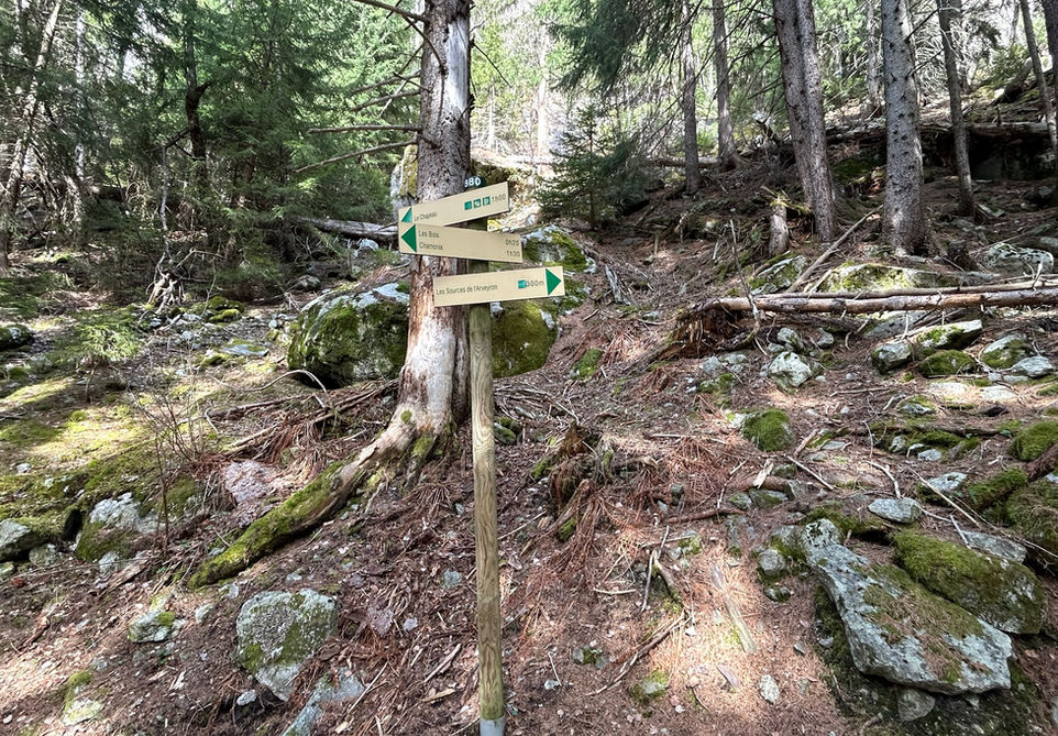
From the Les Bois paved road and car park, make your way east till you cross the first forest trail facing north. Follow this path until it start undulating. There is a right turn here on a small mound. Take this right turn and follow this trail. It will bring you close to the Arveyron river and this is how you will know you are on the right trail. At one point the trail will bend to the left and go uphill. At the foot of this hill you will see a small side trail going to the right that has a trail marker for Les Sources de l'Arveyron. Follow this trail all the way to Les Sources. You cannot miss it. After taking a nice break to enjoy the view at Les Sources, take the same trail back. At the split take the right trail this time. This trail will take you over the crest at the Cote du Piget. You will reach a junction where it intersects with a bigger 4x4 trail. Just cross over this trail and take the smaller trail going up the crest. Keep following this and you will reach a steeper downhill which brings you to the trail that brings you back to your starting point.
Points of Interest
Our hiking and trail running trails around Chamonix are chosen for their natural beauty and variety. We also always try to combine as many sights, attractions and points of interests as possible in our trails. Below you will find a list of the points of interests linked to this trail.

