Nearest Town
Saint Gervais
Altitude
1263m
Capacity
War Monument
Accommodation
Phone
PhoneNumber
Website
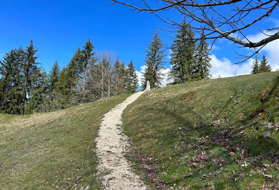
This small World War II memorial honors the 5 men that died at Montfort on August 10, 1943. When Hitler ordered the young men of France to join the war effort, many of them fled into the mountains in defiance and became known as the "Maquisards" or guerillas. They gathered in Adolphe Gabioux's chalet at a place called "la Torchette" above Montfort and it is here on August 10, 1943 that they were surrounded and killed.
The monument lies along the Chemin de la Torchette on a side street above Montfort. It is near the Cheminee des Fees. We got a detailed trail description for a lovely discovery tour of Saint-Gervais-les-Bains and the hamlets above St. Gervais which includes a visit to this monument.
La Stele de la Torchette Photos
Below are all the photos we have in our Chamonix Photos collection for this point of interest. All our photos are tagged with the GPS coordinates and linked to the trails that you can take to find the location where the photo was taken. So if you want to see the full details for a specific photo then just click on it.
Hiking & Running Trails to La Stele de la Torchette
All the trails and points of interest around Chamonix on our website are linked to each other so you can easily pick trails that cover the things you would like to see or visit sights that are nearby and can easily be combined with your target destination. These are the hiking and trail running trails and points of interest linked to La Stele de la Torchette
Points of Interests near La Stele de la Torchette
Where is La Stele de la Torchette?
Latitude:
45.90321
Longitude:
6.73125
Below you will find the location of La Stele de la Torchette on the map. You can also click the button to show the nearby trails and points of interests that are listed above on the same map. Another option is to visit our interactive map that shows La Stele de la Torchette and everything else that is listed on our website.
Looking for more Statues and Monuments?
La Stele de la Torchette is only one of many monuments and statues around Chamonix. We got many more we would love to show you and many more you should visit! To view all the other monuments and statues we cover on our website, you can visit our Monuments and Statues around Chamonix page or view all the monuments and statues around Chamonix on our interactive map
Looking for other sights, attractions and points of interest around Chamonix?


