Length
7.4km

Elevation + / -
391m / 391m

Altitude Range
2008m / 2343m

When to go
Start Jul - End Sep
Hike duration
2.0 - 3.0 Hours

Run duration
1.0 - 1.5 Hours

Technical level
Difficult

Natural beauty
Very Nice

Families
12+ Years old

Dogs
Dogs Allowed

Provision Sources
1 Refuge

Trail type
Loop
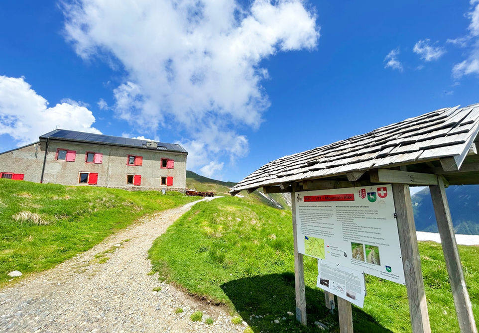
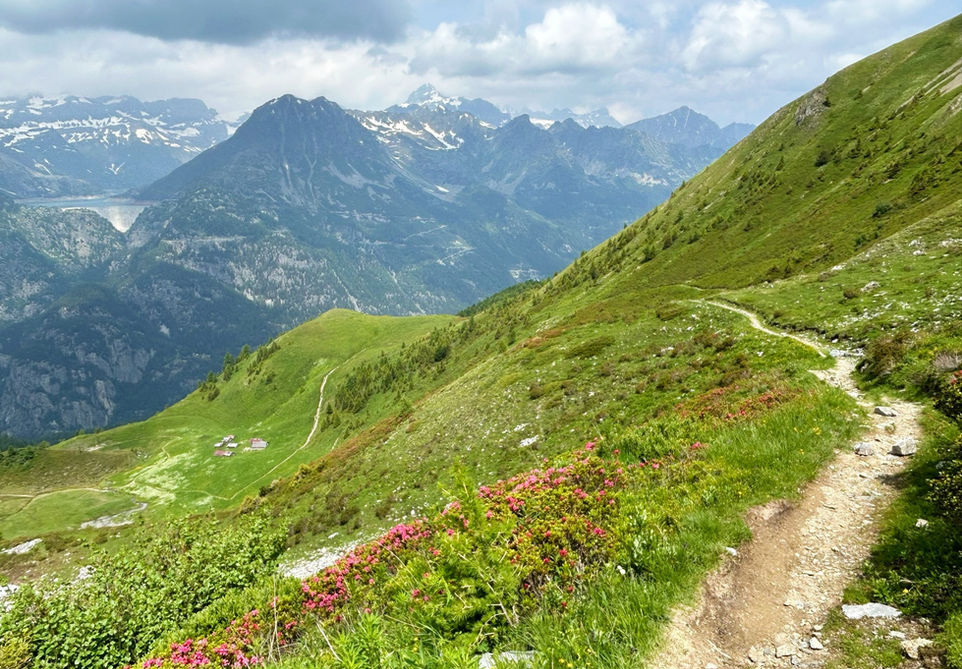
The primary goal of this loop trail is to explore the many view points around the Tete de Balme summit at the far north-eastern end of the Chamonix Valley. We used the Charamillon gondola and the Autannes chair lift from Le Tour to easily reach altitude fast. We then visit the nearby Refuge de Col de Balme on the border with Switzerland. This is a very nice place for a snack before moving on. The next destination is the main event: the Croix de Fer. A rocky crest with an iron cross mounted on the summit with pretty amazing views into Switzerland and all around in all directions. We then head back to the main trail and descend to the Chalets de Catogne. These are a number of farm houses set in a beautiful pasture below the rocky peaks that you just descended from. From there we move back up towards the south side and the views into the Chamonix Valley. We then take a nice flattish trail that takes us back to the Refuge Col de Balme and from there we can make our way back to the Autannes lift and take the gondola down to Le Tour.
Along the route you will have the opportunity to add the Tete de Balme summit and L'Arolette to the route. These are two grassy dome summits close to each other and not too far from the Croix de Fer. You can either add these at the start of the trail and do them after visiting the Refuge de Col de Balme or you could add them after you make your way up from the Chalets de Catogne. You could climb up to the top of the Tete de Balme chairlift and then a short trail will take you to the Tete de Balme. The views will not be dramatically different from the ones you will enjoy from the Croix de Fer and the rest of this trail so they are definitely optional. It is also possible to further extend this trail by adding the Aiguillettes des Posettes and the Alpage de Balme and taking the gondola down from the mid station. The Aiguillettes des Posettes is definitely very beautiful and could be a great add on if you have the stamina.
Video of this Trail
We have made a video presentation for this trail. The video will provide full 3D fly over of the route and then give a great overview of the experience you can expect when you take on this trail. It is a great way to quickly understand if this is the perfect trail for you. Please visit our channel on YouTube and like the video and subscribe to our channel. Putting together these videos is a lot of work!
Photos of this Trail
Below are all the photos we have in our Chamonix Photos collection for this point of interest. All our photos are tagged with the GPS coordinates and linked to the trails that you can take to find the location where the photo was taken. So if you want to see the full details for a specific photo then just click on it.
Trail Directions & Safety Considerations

Risk Considerations & Difficulty Assessment
This trail reaches an altitude of 2343 meters at the Croix de Fer. The trails leading up to the view point and down to Catogne are in the sunshade and tend to be covered in snow till quite late in the season. They should be snow free from early July to the end of September at least. The lifts you will be using are open from mid-June to mid-September but mid-June will most likely be too early for this route and you are better off exploring the trails on the south facing slope of the Balme mountain.
The trail is very easy to follow. You will see the Refuge Col de Balme the moment you touch down from the Autannes chair lift. The Croix de Fer and Catogne are well marked. The moment you are back on the south facing slope, after climbing up from Catogne, you will see the lift and the refuge again.
The main trails are easy but the climb up to the Croix de Fer is on a rocky crest with some big steps and some big drops on the side. If you are afraid of heights then this trail might not be a good idea for you. The visit to the Croix de Fer is a detour from the main loop and can easily be skipped if you are not comfortable.

Children
12+ Years old

Dogs
Maybe skip the side trail to Croix de Fer. Could be a challenge for your dog

Trail Starting Point
The trail starts at the top of the Autannes Chair lift which you can reach by taking the Charamillon gondola from Le Tour. There is a large car park at Le Tour right in front of the lift station. The best option for public transport is the bus to Le Tour. You can also take the train but the nearest train station is Montroc-Le Planet requiring a 1.3km and 120 vertical meters walk up to Le Tour.

Trail Directions
We take the Charamillion gondola from Le Tour and at the mid station we take the Autannes chair lift. From there you will see the Refuge de Col de Balme directly north from where you landed. Head to the refuge and pass it by on the northern side. You will now see the Swiss yellow trail markers. Follow the signs for Croix de Fer. A little further down the road you arrive at a junction with the side trail for Croix de Fer. Take it to the summit and the view point and then head back to the junction. Take the trail heading north and down the slope towards Catogne. Move down till you hit the next junction and turn left towards Catogne. At the Chalets de Catogne follow the trail marker that says Col de Balme via Le Bechat. This trail will take you up the mountain in a southern direction till you reach the south-facing side of the mountain with the views back into Chamonix. From there a flat trail will take you back to the Col de Balme and from the refuge you can then make your way back down to the Le Tour again using the chair lift and the gondola.
Points of Interest
Our hiking and trail running trails around Chamonix are chosen for their natural beauty and variety. We also always try to combine as many sights, attractions and points of interests as possible in our trails. Below you will find a list of the points of interests linked to this trail.


