Miage to Tricot and Plan de Glacier
Our Rating
6
Above Average
Watch the Full Video on

Length
10.17km

Elevation + / -
1181m / 1181m

Altitude Range
1565m / 2680m

When to go
Mid Jun - End Sep
Hike duration
4.0 - 6.0 Hours

Run duration
2.5 - 3.5 Hours

Technical level
Very Difficult

Natural beauty
Very Nice

Families
15+ Years old

Dogs
No Dogs

Provision Sources
1 Refuge

Trail type
Loop
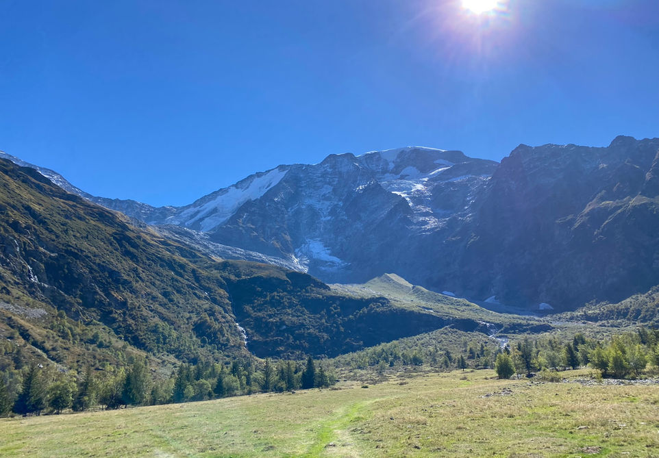
This trail takes you to the high altitude Refuge de Plan de Glacier perched on a rockface on the side of the Glacier de Miage. There is only one trail that you can take to reach this Refuge and it runs between the Refuge de Miage and the Col de Tricot. You can either take this trail as a loop from Refuge Miage or make it a detour on your way to Miage from the Col de Tricot. I personally did this as a run from Chamonix passing by Bellevue and then the Col de Tricot and then I added this detour before reaching Miage.
The trail itself is not easy. The path up to Col de Tricot is quite steep and rocky and the "Smugglers Path" between de Col and Refuge de Plan de Glacier is quite technical too. It will be slow going or at least that is how I experienced it. The descend back into Refuge de Miage is no cake walk either. All in all its a pretty rough route without any sections that are easier on the knees. What you get in return though is definitely worth it. You will have great views pretty much all the way and the Refuge de Plan de Glacier is something you need to see to believe. Its small and charming and feels to be built in the middle of nowhere.
Video of this Trail
We have made a video presentation for this trail. The video will provide full 3D fly over of the route and then give a great overview of the experience you can expect when you take on this trail. It is a great way to quickly understand if this is the perfect trail for you. Please visit our channel on YouTube and like the video and subscribe to our channel. Putting together these videos is a lot of work!
Photos of this Trail
Below are all the photos we have in our Chamonix Photos collection for this point of interest. All our photos are tagged with the GPS coordinates and linked to the trails that you can take to find the location where the photo was taken. So if you want to see the full details for a specific photo then just click on it.
Trail Directions & Safety Considerations

Risk Considerations & Difficulty Assessment
This route reaches an altitude of 2680 meters at the Refuge de Plan de Glacier. It will most likely be snow free from the middle to end of June to the end of September. To be sure I would check with the Refuge itself. If they are open then they will know the conditions. The entire trail is very rocky, steep and will have a lot sections with lose scree. It is also very remote and I would not undertake this unless the season and weather are right for it. The trail is easy to navigate seeing how there are no splits in the road and you making a basic loop around the Miage Valley. You will be able to see the Refuge de Miage for the vast majority of the route. The final section of the Smugglers Path going to the Plan de Glacier is pretty much all rocks and I constantly had the feeling that I should have been there by now. Keep at it and you will reach the Refuge. The trail itself is steep and technical all throughout. Lots of big steps, lots of rock, lots of lose scree.

Children
15+ Years old

Dogs
Too technical in our opinion to comfortably do with a dog.

Trail Directions
From the Refuge de Miage head up towards de Col de Tricot. You cannot miss it and you will be able to see the Col from your departure point. Its a steep climb. From the Col de Tricot you will be turning to your right. There is a trail marker that will indicate the Plan de Glacier. You will be passing though a very nice stone arch on the so-called Smugglers Path. At the end of this path you will see the intersection with the trail going back down to the Refuge de Miage. Instead keep going south east towards the Refuge de Plan de Glacier. You take a rest at the Refuge and if its open you can enjoy a snack here. After that you will head back to the junction and take the trail down to the Refuge de Miage. The final section will be the easiest on your knees as you walk out through the alpine pastures on the valley floor and back to the Refuge.
Points of Interest
Our hiking and trail running trails around Chamonix are chosen for their natural beauty and variety. We also always try to combine as many sights, attractions and points of interests as possible in our trails. Below you will find a list of the points of interests linked to this trail.


