Vallorcine to Loriaz and Lac Emosson
Our Rating
9
Exceptional
Watch the Full Video on

Length
13.25km

Elevation + / -
1022m / 1022m

Altitude Range
1150m / 2090m

When to go
Start Jun - Start Oct
Hike duration
4.0 - 6.0 Hours

Run duration
2.5 - 4.0 Hours

Technical level
Moderate

Natural beauty
Very Nice

Families
12+ Years old

Dogs
Dogs Allowed

Provision Sources
1 Refuge

Trail type
Loop
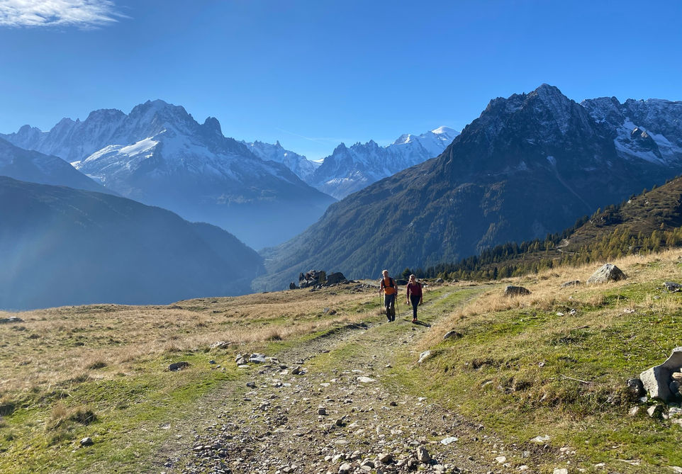
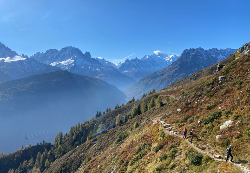
A very nice big loop route above Vallorcine in the Montagne de Loriaz and the Montagne de Barberine. The trail starts off in Valorcine and climbs to the Refuge de Loriaz. A beautiful location with a great refuge that offers accommodation and meals. It sits in a fantastic alpine pasture with amazing views to the other side of the valley and beyond to the Aguille Verte above the Chamonix valley. From there its a fairly flat and beautiful traverse over to Lac d'Emosson and the border with Switzerland. Lac d'Emosson is a very big lake with a very big dam. You can visit the lake and spend some time there before heading down the mountain towards the hamlet of Barberine. About half way to Barberine you can make a small detour and visit the Grande Cascade de Barberine waterfall. The hamlet of Barberine has a small museum that is open in July and August which you can also visit. Once back on the valley floor, you cross the main road and take the forest path back to Vallorcine.
Video of this Trail
We have made a video presentation for this trail. The video will provide full 3D fly over of the route and then give a great overview of the experience you can expect when you take on this trail. It is a great way to quickly understand if this is the perfect trail for you. Please visit our channel on YouTube and like the video and subscribe to our channel. Putting together these videos is a lot of work!
Photos of this Trail
Below are all the photos we have in our Chamonix Photos collection for this point of interest. All our photos are tagged with the GPS coordinates and linked to the trails that you can take to find the location where the photo was taken. So if you want to see the full details for a specific photo then just click on it.
Trail Directions & Safety Considerations

Risk Considerations & Difficulty Assessment
This route reaches an altitude of 2090 meters. The best to time to go would be early June to early October but you need to check on snow cover to make sure the route is reasonably doable. The route is not difficult to navigate with clear signs leading you to the main waypoints of Refuge de Loriaz, Lac d'Emosson, Barberine and Vallorcine. We did not experience any points along the route where we doubted where to go next. The trails themselves are not overly difficult. The steepest part is the descent from Lac d'Emosson. The rest of the trail is pretty standard with some rocky areas which is pretty standard for trails reaching 2000 meters of altitude in and around the Chamonix Valley

Children
12+ Years old

Dogs
We recommend to keep your dog on a leash

Trail Directions
From the Vallorcine train station you need to cross the bridge and head towards the main road. Turn right on the main road. After 190 meters you can turn left to go up towards Le Siseray. Take the first left and meet up with the trail towards Refuge de Loriaz. From here the trail to Loriaz is clearly marked and you will do a number of switchbacks till you reach the open alpine meadows before Loriaz. After you are done looking around the Refuge you can take the trail on the right side of the refuge towards Barrage d'Emmosson. This trail leads you straight to a view of the lake and the dam. Once you are done there head back and take the trail heading towards Barberine. Along the way down to Barberine you can take a slight detour and visit the Cascade de Barberine waterfall. After that stay to your left and head for the hamlet of Barberine. There is a small museum that you can visit there in July and August. After Barberine, take the bridge and cross the main road and get onto the trail that runs parallel all the way back to Vallorcine.
Points of Interest
Our hiking and trail running trails around Chamonix are chosen for their natural beauty and variety. We also always try to combine as many sights, attractions and points of interests as possible in our trails. Below you will find a list of the points of interests linked to this trail.


