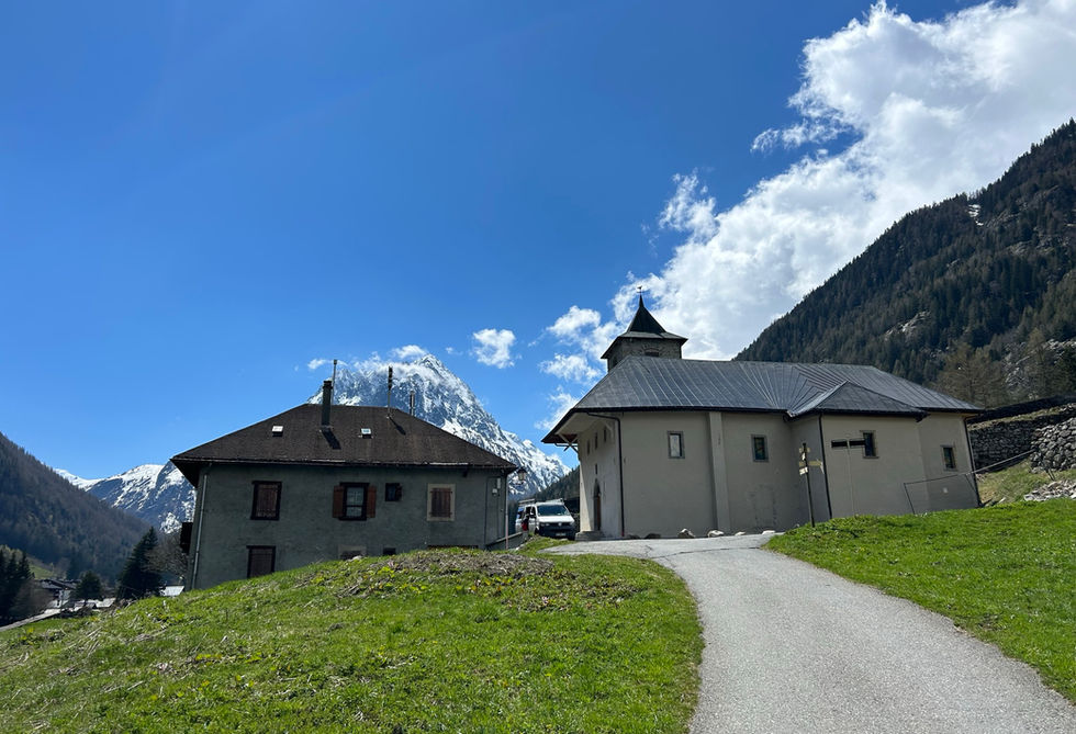
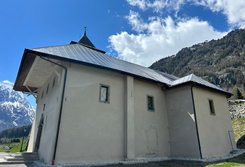
The Eglise Notre-Dame de l'Assomption is the main church in Vallorcine. It is located on an elevated position on its own street and unlike many other churches and chapels, it stands quite solitary on its own surrounded by fields. The nicest way of reaching the church is using the historic Chemin des Diligences which has linked the Valley of Chamonix to Martigny since 1792. It passes by the church and continues on to the Hamlet of Barbarine and the Cascade de Barbarine.
The church dates back to the 13th century. What makes the church very unique is the paravalanche, or avalanche wall, that is built around the church on its northern perimeter to protect it from avalanches. Apparently, this paravalanche was initially built from wood before being replaced in 1720 by the thick stone wall which is there today. The church has a large history of being hit by avalanches and has gone through multiple renovations and restorations. In 1755, it was fully rebuilt. A big restoration took place in 2017-2021 and there is a nice website detailing the work and the fund raising efforts. This website also gives a very thorough history of the church and its worth a read.
Eglise Notre-Dame Photos
Below are all the photos we have in our Chamonix Photos collection for this point of interest. All our photos are tagged with the GPS coordinates and linked to the trails that you can take to find the location where the photo was taken. So if you want to see the full details for a specific photo then just click on it.
Hiking & Running Trails to Eglise Notre-Dame
All the trails and points of interest around Chamonix on our website are linked to each other so you can easily pick trails that cover the things you would like to see or visit sights that are nearby and can easily be combined with your target destination. These are the hiking and trail running trails and points of interest linked to Eglise Notre-Dame
Points of Interests near Eglise Notre-Dame
Where is Eglise Notre-Dame?
Latitude:
46.0394
Longitude:
6.936
Below you will find the location of Eglise Notre-Dame on the map. You can also click the button to show the nearby trails and points of interests that are listed above on the same map. Another option is to visit our interactive map that shows Eglise Notre-Dame and everything else that is listed on our website.
Looking for more Churches and Chapels?
Eglise Notre-Dame is only one of many churches and chapels around Chamonix. We got many more we would love to show you and many more you should visit! To view all the other churches and chapels we cover on our website, you can visit our Churches and Chapels around Chamonix page or view all the churches and chapels around Chamonix on our interactive map
Looking for other sights, attractions and points of interest around Chamonix?


