Nearest Town
Sallanches
Altitude
2750m
Capacity
Summit
Accommodation
Phone
PhoneNumber
Website
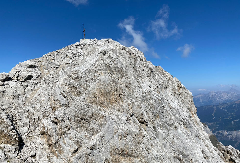
Pointe Percee is a rocky summit and the hightest peak of the Chaine des Aravis, a spectacular mountain range towering above Sallanches. There used to be a road sign on the highway between Chamonix and Geneva indicating the Pointe Percee which is how we originally got curious. On our website we have a trail describing the northern standard route coming from Col des Annes via the Refuge de la Pointe Percee. You can also approach it from the eastern Sallanches side via the Refuge Doran, which is something we will need to try soon. Regardless of the route, expect a difficult and technical hike with a lot of rock and steep inclines. The views from Pointe Percee are 360 degree all around and include Mont Blanc and basically all other peaks in the region. The first ascend of Pointe Percee was performed by Louis Maquelin in 1865.
Pointe Percee Photos
Below are all the photos we have in our Chamonix Photos collection for this point of interest. All our photos are tagged with the GPS coordinates and linked to the trails that you can take to find the location where the photo was taken. So if you want to see the full details for a specific photo then just click on it.
Hiking & Running Trails to Pointe Percee
All the trails and points of interest around Chamonix on our website are linked to each other so you can easily pick trails that cover the things you would like to see or visit sights that are nearby and can easily be combined with your target destination. These are the hiking and trail running trails and points of interest linked to Pointe Percee
Points of Interests near Pointe Percee
Where is Pointe Percee?
Latitude:
45.95576
Longitude:
6.55594
Below you will find the location of Pointe Percee on the map. You can also click the button to show the nearby trails and points of interests that are listed above on the same map. Another option is to visit our interactive map that shows Pointe Percee and everything else that is listed on our website.
Looking for more Summits and Mountain Passes?
Pointe Percee is only one of many summits and mountain passes around Chamonix. We got many more we would love to show you and many more you should visit! To view all the other summits and mountain passes we cover on our website, you can visit our Summits and Mountain Passes around Chamonix page or view all the summits and mountain passes around Chamonix on our interactive map
Looking for other sights, attractions and points of interest around Chamonix?


