Length
9.6km

Elevation + / -
591m / 591m

Altitude Range
803m / 1299m

When to go
Mid Apr - End Oct
Hike duration
2.0 - 3.5 Hours

Run duration
1.0 - 1.5 Hours

Technical level
Moderate

Natural beauty
Nice

Families
7+ Years old

Dogs
Dogs Allowed

Provision Sources
Only inside Servoz

Trail type
Loop
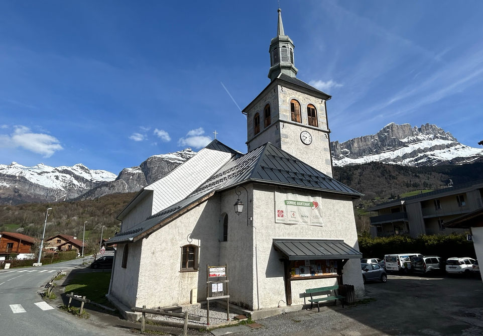
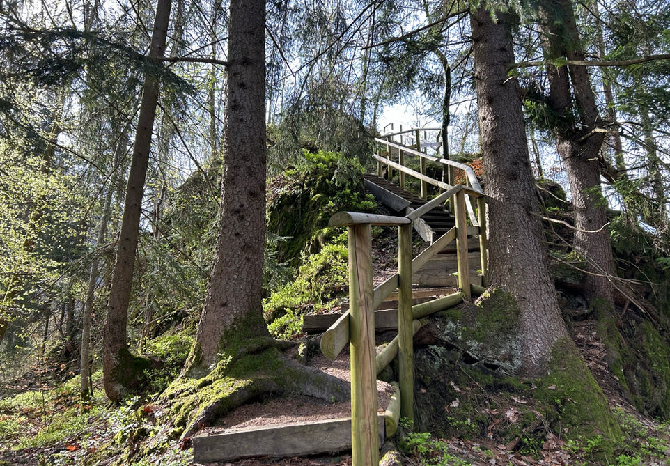
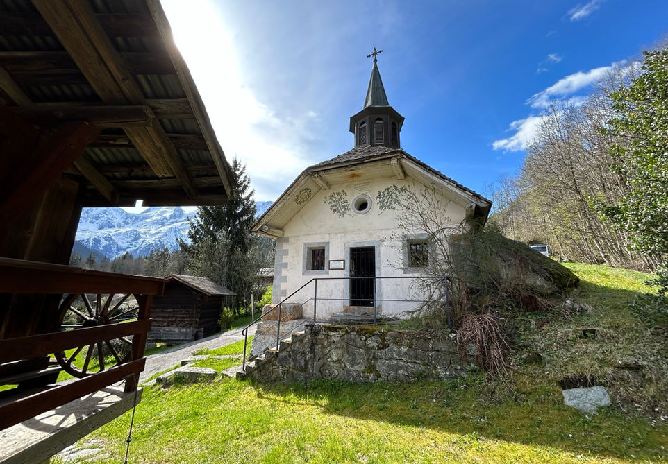
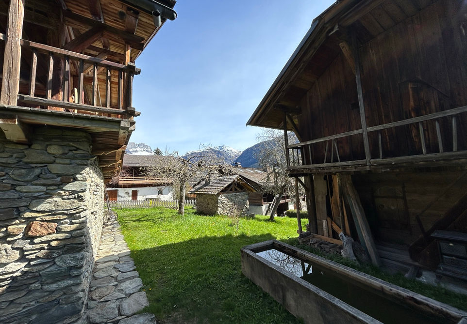
This is a wonderful route for exploring the main sights at the town of Servoz and the hamlet of Vaudagne at the western end of the Chamonix Valley. We start at the town center of Servoz at the Eglise Saint-Loup, the main church of Servoz dating all the way back to 1537. From there we make our way to the very beautiful Chapelle Notre Dame du Lac at the southern end of Servoz. This is probably one of our favorite chapels in the Chamonix Valley, perched beautifully on a rock formation above the road. Next we complete our tour of cultural highlights of Servoz by visiting the Ruins of Chateau de Saint-Michel. There is not much left of the old castle but the ruins are nicely situated and there are information signs in French and English that can help bring the place to life. From there we start our climb up to Vaudagne passing by Les Mouilles. The hamlet of Vaudagne is beautifully situated and has a few very beautiful buildings including the old school building and the Chapelle de Vaudagne. We continue our climb up and enter the forest to the side of Vaudagne and head back north in the direction of Servoz. Along the way we will be passing by some old ruins at La Vernaz of which the origins we dont know. If you do know, then please tell us. From there we make our way down and make our way back to our starting point in Servoz. Overall, a fantastic walk with a great mix of cultural and natural highlights.
Video of this Trail
We have made a video presentation for this trail. The video will provide full 3D fly over of the route and then give a great overview of the experience you can expect when you take on this trail. It is a great way to quickly understand if this is the perfect trail for you. Please visit our channel on YouTube and like the video and subscribe to our channel. Putting together these videos is a lot of work!
Photos of this Trail
Below are all the photos we have in our Chamonix Photos collection for this point of interest. All our photos are tagged with the GPS coordinates and linked to the trails that you can take to find the location where the photo was taken. So if you want to see the full details for a specific photo then just click on it.
Trail Directions & Safety Considerations

Risk Considerations & Difficulty Assessment
This route reaches an altitude of 1299m and should be snow free from mid April to the end of October but check the local conditions ahead of time. The trails are well marked and the major waypoints are all served by trail markers. The trails themselves are easy. The steepest part is coming down from Montcoutant and the ruins at La Venaz down to the landbridge over the highway at Le Chatelard. This path is quite steep and often covered in leaves. Be carefull here.

Children
7+ Years old

Dogs
We recommend to keep your dog on a leash

Trail Starting Point
The trail starts at the Eglise Saint-Loup in the center of Servoz. There is parking around the church. If you are coming by public transport then the Servoz train station is on the southern end of the town and then you can adjust the trail to first directly go to the Chapelle Notre Dame du Lac. If you are going by bus then there is a bus stop right at the church.

Trail Directions
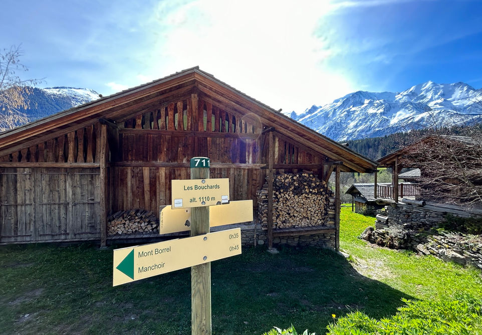
From the Eglise Saint-Loup make your way to the main roundabout of Servoz where the La Sauvageonne restaurant is located. From there head south and take the long straight road towards the train station of Servoz. Right after the bridge over the river Arve, turn left towards the Chapelle Notre Dame de Lac. At the chapel, keep going straight and follow the signs for the Ruins de Chateau Saint-Michel. This will take you up a crest with some stair cases to the ruins. After viewing the ruins make your way down and head down the hill and you will see a trail marker for Vaudagne. Head in that direction. You will come across a trail marker telling you to turn right. This is the shortest possible route for reaching Vaudagne but our trail takes a different route. Keep going straight till you pass through a little industial area and then cross the main road and follow these trail markers for Vaudagne. This will take you up through Les Mouilles. Keep going uphill and follow the signs for Vaudagne. At the hamlet of Vaudagne, you can use a trail that runs through the hamlet and cuts off the zigzags of the main road. You will come across a trail marker that points in the direction of Mont Borel. Follow this sign which takes you through Les Bouchards. Follow the trail to Mont Borel and after that keep going to Montcoutant. From there simply follow the signs for Servoz. After crossing the highway you will make your way to the valley floor. Turn left here in the direction of Vieux Servoz. You will cross a bridge over the river Arve and then keep going straight till you reach the main street of Vieux Servoz. Turn right and head towards the church where you started the trail.
Points of Interest
Our hiking and trail running trails around Chamonix are chosen for their natural beauty and variety. We also always try to combine as many sights, attractions and points of interests as possible in our trails. Below you will find a list of the points of interests linked to this trail.

