Saint-Gervais to Les Contamines
Our Rating
7
Good
Watch the Full Video on

Length
9.7km

Elevation + / -
554m / 197m

Altitude Range
803m / 1161m

When to go
Start Apr - End Oct
Hike duration
3.0 - 4.0 Hours

Run duration
1.5 - 2.0 Hours

Technical level
Very Easy

Natural beauty
Nice

Families
7+ Years old

Dogs
Dogs Allowed

Provision Sources
Only in main towns

Trail type
Point to point
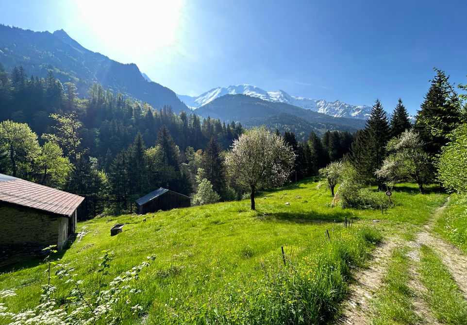
This trail runs through a large part of the Montjoie Valley starting at the town center of Saint-Gervais-les-Bains. You can have a quick look at the main church, the Eglise Saint-Gervais et Saint-Protais before setting of on the trail southwards. The trail largely follows the Bonnant River as it snakes its way to through the Montjoie Valley. On the way you will be passing multiple little hamlets and farm houses. Occassionally you wil venture a bit more inland away from the river with a few steeper climbs. These are quickly rewarded with nice elevated trails that look out over the valley and the mountains across. Roughly halfway, you will come by the Lac Vivier fishing lake right across from the hamlet of Bionnay. There are some picnic benches there which make for a good halfway rest point. There is even a barbeque pit. From there you will pass by the hamlets of Le Quy and Les Hoches before finally arriving at Les Contamintes-Montjoie. Once there you can visit the Eglise de la Sainte-Trinite church and have a meal or a drink at one of the many bistros and restaurants in Les Contamines. All in all, a nice valley trail which is both children and dog friendly.
The D902 main road which runs through the entire valley is never very far from the trail and there are multiple bus stops along this road which will enable you to shorten the trail at will. This bus is also our recommended way of getting back to your starting point. The trail can be done in the oppossite direction of course which will mean significantly less vertical gain but the views will be less nice in our opinion. Lastly, you will be happy to know that the UTMB 170 kilometer trail race follows this trail as part of the race.
Video of this Trail
We have made a video presentation for this trail. The video will provide full 3D fly over of the route and then give a great overview of the experience you can expect when you take on this trail. It is a great way to quickly understand if this is the perfect trail for you. Please visit our channel on YouTube and like the video and subscribe to our channel. Putting together these videos is a lot of work!
Photos of this Trail
Below are all the photos we have in our Chamonix Photos collection for this point of interest. All our photos are tagged with the GPS coordinates and linked to the trails that you can take to find the location where the photo was taken. So if you want to see the full details for a specific photo then just click on it.
Trail Directions & Safety Considerations

Risk Considerations & Difficulty Assessment
This route reaches an altitude of 1161m at Les Contamines and should be snow free from early April to the end of October at least. Furthermore we can assume that many of these trails are still used in winter. The trails are very easy and there are no real technical bits. Navigating the trail is very easy with trail markers present at every junction and clearly indicating your main destination of Les Contamines.

Children
7+ Years old

Dogs
We recommend to keep your dog on a leash

Trail Starting Point
The trail starts at the city center of Saint-Gervais-les-Bains. There is a very large multi-level public parking right across of the town square. There are multiple bus stops in Saint-Gervais with connections to Le Fayet where the main train station is located.

Trail Directions
The trail starts at the city center of Les Contamines. There are multiple ways of making your way down south with the end goal of reaching the Impasse de la Cascade which is a side road of the main road the Avenue du Mont Arbois. This side road is located on the left of the Jerome Leseve bakery before the big bridge with all the flags. Make your way through the big public parking space and the natural trails will begin. From here, it is honestly just a matter of following the trail markers for Les Contamines. You just need to pay close attention because sometimes, counter intuitively, you will be forced to take a sharp turn in the opposite direction which then quickly after, swings back in a southern direction towards Les Contamines. A good example of this is when you arrive at the hamlet of La Quy. We were not paying attention and just walked southwards down the hill before we realized we had to back track and swing around the main road to follow the proper trail.
Points of Interest
Our hiking and trail running trails around Chamonix are chosen for their natural beauty and variety. We also always try to combine as many sights, attractions and points of interests as possible in our trails. Below you will find a list of the points of interests linked to this trail.


