Lac Pormenaz and Pointe Noire de Pormenaz
Our Rating
9
Exceptional
Watch the Full Video on

Length
15.19km

Elevation + / -
1505m / 1505m

Altitude Range
972m / 2323m

When to go
Mid May - Mid Oct
Hike duration
5.0 - 8.0 Hours

Run duration
3.0 - 4.0 Hours

Technical level
Very Difficult

Natural beauty
Incredible

Families
12+ Years old

Dogs
Dogs Allowed

Provision Sources
1 Refuge with detour

Trail type
Loop
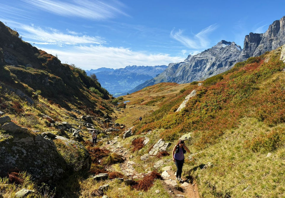
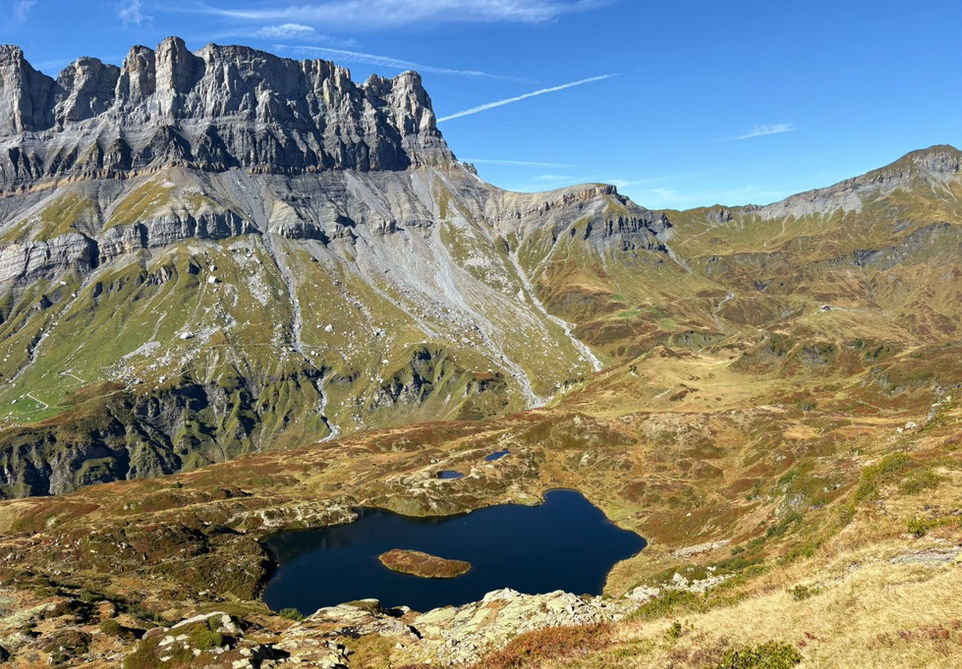
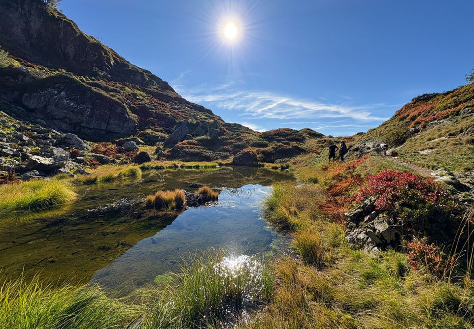
This trail starts at Servoz and takes you up the Montagne de Pormenaz mountain and explores all its key features and points of interest including the stunning Lac de Pormenaz and the rocky summit of the Pointe Noire de Pormenaz. On the way back you will pass by the Alpage de Pormenaz, beautiful alpine pastures with the snow capped peaks of Mont Blanc providing a stunning backdrop. The climb up to the Pointe Noire is optional and it is an out and back from the main trail that traverses the Montagne de Pormenaz. If you have the stomach for the extra 400 vertical meters of climbing then it is definitely worth it and you will be rewarded with some of the best views of the Aiguilles Rouges and the Mont Blanc Massif.
There quite a number of alternative routes you can take to climb up to Lac Pormenaz from Servoz. The one we present here is the only one that is dog friendly but requires a climb up that is technical with many ladders and fixed chains and footholds. If you want an easier time then you could take the much easier path to the Refuge Moede Anterne where you can then also enjoy a snack or a meal.
Video of this Trail
We have made a video presentation for this trail. The video will provide full 3D fly over of the route and then give a great overview of the experience you can expect when you take on this trail. It is a great way to quickly understand if this is the perfect trail for you. Please visit our channel on YouTube and like the video and subscribe to our channel. Putting together these videos is a lot of work!
Photos of this Trail
Below are all the photos we have in our Chamonix Photos collection for this point of interest. All our photos are tagged with the GPS coordinates and linked to the trails that you can take to find the location where the photo was taken. So if you want to see the full details for a specific photo then just click on it.
Trail Directions & Safety Considerations

Risk Considerations & Difficulty Assessment
This route reaches an altitude of 2323 at the Pointe Noire de Pormenaz. The route should be snow free from roughly the middle of May to the middle of October. Check this ahead of time. The route should not be attempted with snow cover as the lake could be covered by ice and snow and pose a danger. The section with handrails and ladders should also not be attempted with snow cover. The Refuge Moede Anterne could be a good source of information for local conditions. The trails are well marked and not hard to navigate but the optional out and back to the Pointe Noire de Pormenaz does not have trail markers, only yellow dots and small plates. It is not hard to follow this optional trail. The trails themselves are not difficult with the exception of the steep section between the Chalets du Souay and Lac Pormenaz. This section has ladders and handrails and is very steep. If you want to skip this section by taking the 4x4 track to Moede Anterne or the trail that stays left after you cross the bridge after the Chalets de Souay. Both these trails are not allowed with dogs though.

Children
12+ Years old

Dogs
Dogs are allowed but the trails are technical and your dog may need some help on some of the ladders. Keep your dog on a leash, especially around the Alpage de Pormenaz where there are often flocks of sheep.

Trail Starting Point
We start the trail at the carpark at Les Moulines d'en Haut, north from Servoz. Alternatively you could also start this from Servoz or the larger parking at the Gorges de la Diosaz. If you are coming by train then you can use the train station at Servoz but this train station is located quite a bit south from the town center and will add quite a bit of distance.

Trail Directions
We start the trail at the parking at Les Moulins d'en Haut, north from Servoz. From there we proceed north through the little hamlet and turn right and cross the bridge. We climb up in a northern direction and at the first junction we turn left on the 4x4 track and cross another bridge. Take the trail on your right after the bridge. Keep following the trail upwards in a northern direction until you reach a junction at the Barme Trappier and follow the trail sign for Les Ayeres. Keep going up and northwards until you reach the 4x4 track and a trail marker named Les Bennevy. Follow the signs for Chalets du Souay. At the Chalets du Souay, turn right and follow the trail marker for Lac de Pormenaz. Cross the river and climb up in an eastern direction. At the next junction turn right and follow the trail marker for Lac de Pormenaz. This is a technical section with many ladders, footholds and fixed cables. Keep climbing up and follow this trail eastward all the way to the Lac de Pormenaz. At the lake turn right and follow the trail marker for les Chalets de Pormenaz. Follow the trail southwards. You will see a junction with a trail veering off to your left towards the cliffs above the trails. There will also be a trail marker saying Pointe Noire de Pormenaz but during our last visit this marker was left on the ground. If you want to visit the Pointe Noire de Pormenaz then follow this trail. It will be marked by yellow dots on the rocks and yellow plastic plates but there will be no further trail markers. Keep following the trail to the summit and after you have enjoyed the spectacular views, head back down the same way you came up until you find yourself back at the same junction. From there head west and the trail will quickly turn southwards. Follow this trail all the way to the Chalets de Pormenaz. From the chalets, keep heading south and the trail will start descending and zigzagging down the mountain. There are no junctions until you nearly reach the bottom of the mountain. Once you are on the 4x4 trackl, just keep going in a north-western direction until you are back at the junction near the start of the trail. Turn left and climb down the path and back through the Moulins d'en Hauts and the start point of the trail.
Points of Interest
Our hiking and trail running trails around Chamonix are chosen for their natural beauty and variety. We also always try to combine as many sights, attractions and points of interests as possible in our trails. Below you will find a list of the points of interests linked to this trail.


