Nearest Town
Les Houches
Altitude
2115m
Capacity
Summit
Accommodation
Phone
PhoneNumber
Website
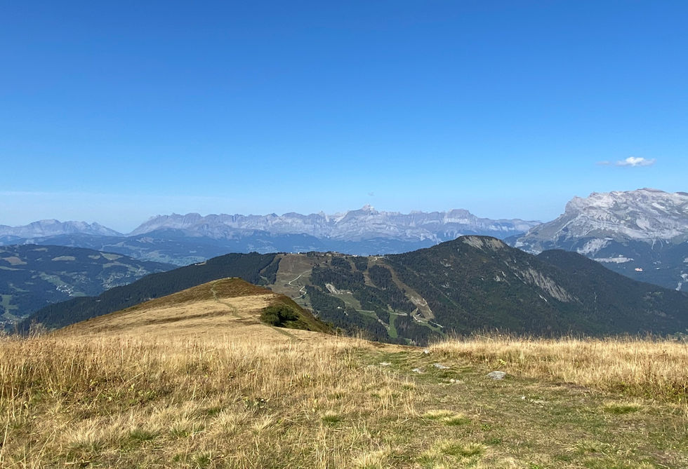
Mont Lachat is located high above Les Houches on the western end of the Chamonix Valley. Its location is such that it provides some of the best views across the entire valley and deep into the valley with good views of the mountain ranges on both sides of the Chamonix Valley. The views to the western side look across Mont Joly and towards Megeve.
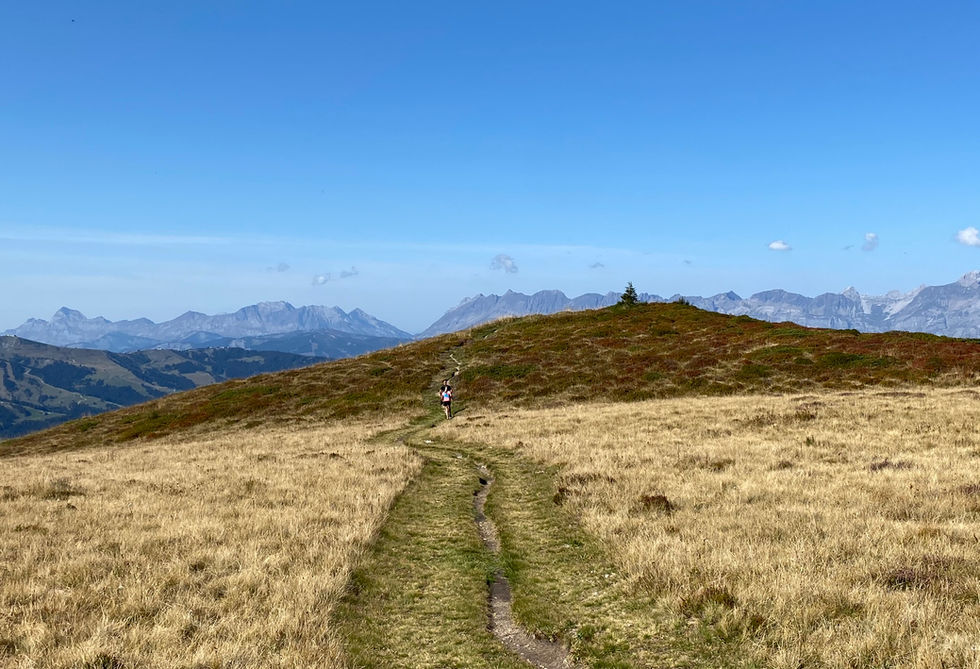
Mont Lachat can easily be reached from the Bellevue Cable Car via a relatively short trail. We got a nice short loop trail from the cable car to the summit and back. The Tramway du Mont Blanc mountain train has a stop near the summit too. Those looking for a much more spectacular outing, should take on this trail which passes by the Mont Lachat summit on the way to the much higher altitude Baraque des Rognes and the spectacular Nid d'Aigle refuge.
Mont Lachat Photos
Below are all the photos we have in our Chamonix Photos collection for this point of interest. All our photos are tagged with the GPS coordinates and linked to the trails that you can take to find the location where the photo was taken. So if you want to see the full details for a specific photo then just click on it.
Hiking & Running Trails to Mont Lachat
All the trails and points of interest around Chamonix on our website are linked to each other so you can easily pick trails that cover the things you would like to see or visit sights that are nearby and can easily be combined with your target destination. These are the hiking and trail running trails and points of interest linked to Mont Lachat
Points of Interests near Mont Lachat
Where is Mont Lachat?
Latitude:
45.87089
Longitude:
6.79357
Below you will find the location of Mont Lachat on the map. You can also click the button to show the nearby trails and points of interests that are listed above on the same map. Another option is to visit our interactive map that shows Mont Lachat and everything else that is listed on our website.
Looking for more Summits and Mountain Passes?
Mont Lachat is only one of many summits and mountain passes around Chamonix. We got many more we would love to show you and many more you should visit! To view all the other summits and mountain passes we cover on our website, you can visit our Summits and Mountain Passes around Chamonix page or view all the summits and mountain passes around Chamonix on our interactive map
Looking for other sights, attractions and points of interest around Chamonix?


