Length
3.88km

Elevation + / -
311m / 311m

Altitude Range
1802m / 2115m

When to go
Mid Jun - Mid Sep
Hike duration
1.5 - 2.5 Hours

Run duration
45 - 75 Mins

Technical level
Moderate

Natural beauty
Very Nice

Families
7+ Years old

Dogs
Dogs Allowed

Provision Sources
1 Snack Bar

Trail type
With Lift
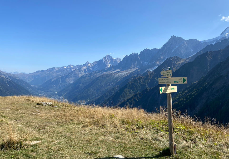
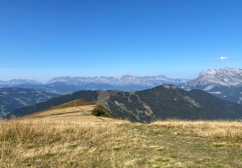
This is a short route starting off at the top of the Bellevue lift above Les Houches. The trail traverses around Mont Lachat before climbing to its summit. You will have nice views during the entire trail culminating at the top of Mont Lachat where you will have great views into the Chamonix Valley and the Mont Blanc Massif. After spending some time on Mont Lachat you can descend straight back to the Bellevue chair lift. The descend down is a bit steep but in general we would still classify this as a family friend route as long you monitor your kids well. This route can be combined with a visit to the Nid d'Aigle using the Tramway du Mont Blanc. You can visit the Nid d'Aigle first using the train and then descend back to the Bellevue train stop and then do this trail for instance before heading back down with the train.
Video of this Trail
We have made a video presentation for this trail. The video will provide full 3D fly over of the route and then give a great overview of the experience you can expect when you take on this trail. It is a great way to quickly understand if this is the perfect trail for you. Please visit our channel on YouTube and like the video and subscribe to our channel. Putting together these videos is a lot of work!
Photos of this Trail
Below are all the photos we have in our Chamonix Photos collection for this point of interest. All our photos are tagged with the GPS coordinates and linked to the trails that you can take to find the location where the photo was taken. So if you want to see the full details for a specific photo then just click on it.
Trail Directions & Safety Considerations

Risk Considerations & Difficulty Assessment
This route reaches an altitude of 2115m at the Mont Lachat summit. You can expect there to be some snow cover till mid June, especially on the les houches side of Mont Lachat . Make sure to check conditions ahead of time. This route furthermore uses either the Bellevue lift or the Tramway du Mont Blanc to take you to the Bellevue starting point. Navigating this route is very easy and the trails are well marked. Mont Lachat is your main navigation point and after your ascend of the summit you head straight down Mont Lachat towards Bellevue. The trails itself are a bit challenging. At the start you will be traversing Mont Lachat and you will have a fairly steep drop towards Les Houches on your left side. After reaching the Mont Lachat summit the trail down back to Bellevue can be steep and rocky. I would still consider this trail family friendly but probably with older kids and under supervision.

Children
7+ Years old

Dogs
We recommend to keep your dog on a leash

Trail Starting Point
The trail starts at the top of the Bellevue lift which departs from Les Houches. Alternatively you can reach Bellevue from Saint-Gervais-les-Bains using the Tramway du Mont Blanc mountain train

Trail Directions
The trail starts in front of the Bellevue lift station in the direction of Mont Lachat. This trail traverses Mont Lachat until it circles around to the back side. There you will find the track that takes you up to the summit of Mont Lachat. From the summit its a very straightforward descend back to Bellevue. You could also do this trail in reverse by the way by first taking the trail up to the summit of Mont Lachat directly.
Points of Interest
Our hiking and trail running trails around Chamonix are chosen for their natural beauty and variety. We also always try to combine as many sights, attractions and points of interests as possible in our trails. Below you will find a list of the points of interests linked to this trail.


