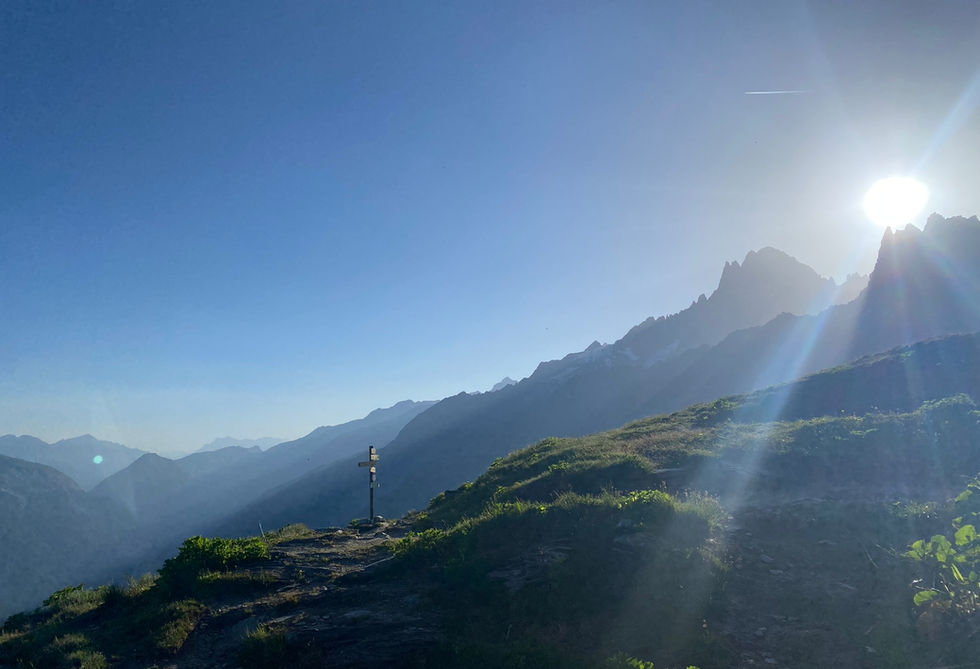
The Refuge de Plan de l'Aiguille is one of the most popular refuges, sitting high above the Chamonix Valley near the Plan de l'Aiguille mid station of the Aiguille du Midi lift. The refuge is visible from the valley floor. It has a rich history dating back all the way to 1869 and it recently celebrated its 150th year anniversary.
It is easy to visit this refuge as part of one the most populair trails in the entire Chamonix Valley: Montenvers to Plan de l'Aiguille. Our version of this trail also takes you to the nearby Lac Bleu which is roughly half an hour walk away from the refuge. If you are looking for something a bit more challenging then there are multiple routes that start at the valley floor and meet up with the grand balcon nord. You could climb up to Montenvers by foot instead of taking the train if you want to add something extra to the traditional route. For those looking for a much easier outing, you can simply take the Aiguille du Midi cable car up to Plan de l'Aiguille and do a short walk where you visit the Refuge de Plan de l'Aiguille and maybe Lac Bleu and then make your way back down again.
The Refuge offers accommodation split over a 5 different rooms and a dormitory. The rooms vary in size and can accommodate 4 to 10 people each. In winter the winter dormitory is open but the refuge will be not be staffed. As with most refuges, we recommend taking your own sleeping bag liner. The refuge has showers but you will need to bring your own toiletries. Accommodation typically includes dinner and breakfast the day after. We took our kids to stay here for a father's day weekend and it was a great experience. Watching sunset from the outdoor seating area of the refuge was unforgettable. The website of the refuge takes online bookings and will have the most accurate details on its operating hours.
The Refuge doubles as a snackbar / restaurant with a nice menu containing different salads, croutes (bread in cheese and wine), charcuterie and cheese planks, omeletes, pastas and desert. The refuge has a very nice outdoor sitting area with great views of the valley below and the surrounding mountains. They also serve a variety of drinks including alcoholic drinks.
Refuge du Plan de Aiguille Photos
Below are all the photos we have in our Chamonix Photos collection for this point of interest. All our photos are tagged with the GPS coordinates and linked to the trails that you can take to find the location where the photo was taken. So if you want to see the full details for a specific photo then just click on it.
Hiking & Running Trails to Refuge du Plan de Aiguille
All the trails and points of interest around Chamonix on our website are linked to each other so you can easily pick trails that cover the things you would like to see or visit sights that are nearby and can easily be combined with your target destination. These are the hiking and trail running trails and points of interest linked to Refuge du Plan de Aiguille
Length
8.17km
Elevation +
+614m / -231m
Difficulty
Easy
9
Exceptional
Dogs
No Dogs
Children
7+ Years old
When to Go
Mid Jun - End Sep
Perhaps the most popular route in the Chamonix Valley taking you from the Montenvers station and the Mer de Glace over the Balcon Nord past the Lac Bleu to the Plan l'Aiguille lift station.
Points of Interests near Refuge du Plan de Aiguille
Where is Refuge du Plan de Aiguille?
Latitude:
45.9056
Longitude:
6.8827
Below you will find the location of Refuge du Plan de Aiguille on the map. You can also click the button to show the nearby trails and points of interests that are listed above on the same map. Another option is to visit our interactive map that shows Refuge du Plan de Aiguille and everything else that is listed on our website.
Looking for more Refuges?
Refuge du Plan de Aiguille is only one of many refuges around Chamonix. We got many more we would love to show you and many more you should visit! To view all the other refuges and mountain accommodations we cover on our website, you can visit our Refuges around Chamonix page or view all the mountain accommodations around Chamonix on our interactive map
Looking for other sights, attractions and points of interest around Chamonix?


