Tete du Chateau to Vormy and Passage du Saix
Our Rating
7
Good
Watch the Full Video on

Length
18.3km

Elevation + / -
1545m / 1545m

Altitude Range
1145m / 2325m

When to go
End Jun - Start Oct
Hike duration
6.0 - 10.0 Hours

Run duration
3.5 - 5.0 Hours

Technical level
Very Difficult

Natural beauty
Very Nice

Families
15+ Years old

Dogs
No Dogs

Provision Sources
1 Refuge

Trail type
Loop
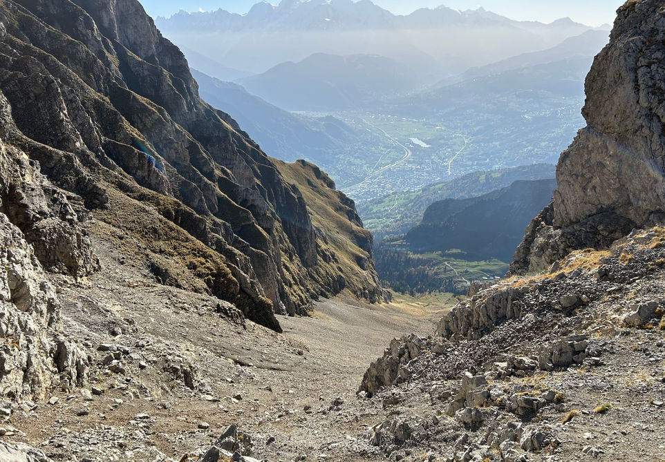
This trail was born out of my curiosity for three destinations: the steep passage up from Refuge de Doran to Col de la Forclaz, the plateau at the foot of the Chaine des Aravis and finally the Passage du Saix which on the map looks like a very steep cliff face bringing you down from the plateau back to the foot of the cliffs. These are all features that you can see from the highway as you drive from Chamonix in the direction of Geneva and I was always curious about them.
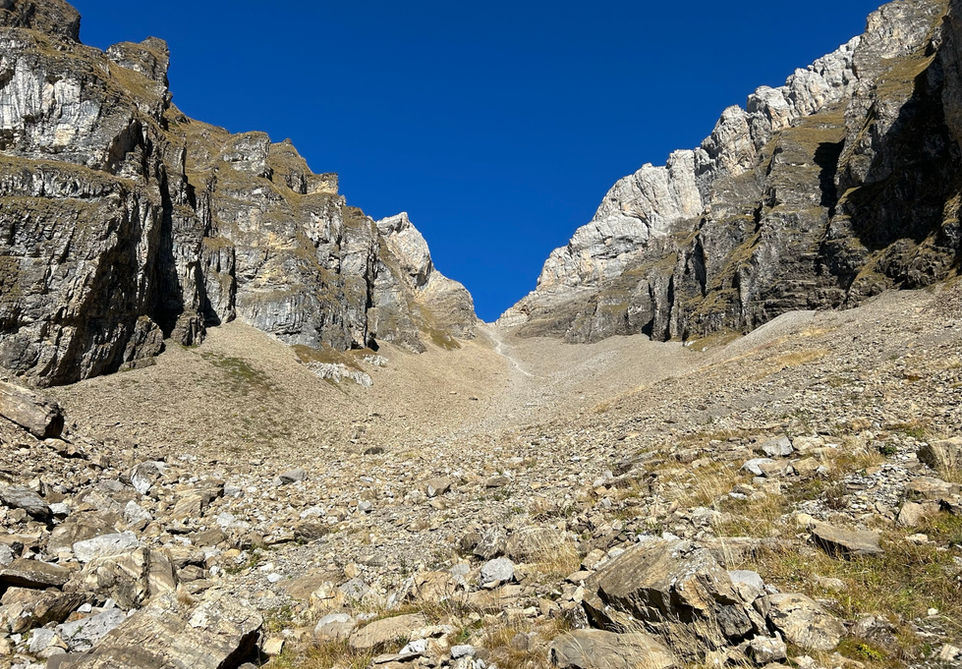
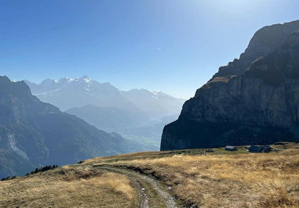
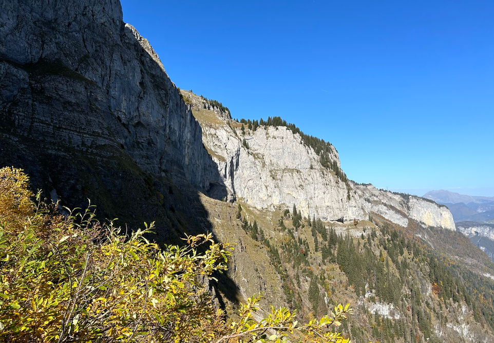
The trail itself is interesting but it would not be high on my list of priorities if I had not done some of the more popular and more obvious trails in and around the Chamonix Valley first. The passage up to Col de la Forclaz is very steep as I was expecting. But it is steep to the point where you are slipping back on scree a lot and I had a few moments that were quite uncomfortable. The plateau after the Col de la Forclaz is beautiful grass lands with nice views into areas I have not explored. The Passage du Saix is pretty spectacular as I had expected. Overall an interesting route if you want to try something new.
Video of this Trail
We have made a video presentation for this trail. The video will provide full 3D fly over of the route and then give a great overview of the experience you can expect when you take on this trail. It is a great way to quickly understand if this is the perfect trail for you. Please visit our channel on YouTube and like the video and subscribe to our channel. Putting together these videos is a lot of work!
Photos of this Trail
Below are all the photos we have in our Chamonix Photos collection for this point of interest. All our photos are tagged with the GPS coordinates and linked to the trails that you can take to find the location where the photo was taken. So if you want to see the full details for a specific photo then just click on it.
Trail Directions & Safety Considerations

Risk Considerations & Difficulty Assessment
This route reaches an altitude of 2325m at the top of the Col de la Forclaz. The route is difficult enough as it is with a lot of lose scree at a steep incline. I would not do this if there is any snow cover at all. So check this ahead of time. If the Refuge de Doran is open then they could be a good source of local information. Also the Passage du Saix which is on a cliff side should only be attempted when there is absolutely zero snow. I think in general that late June to early October should be snow free but check this ahead of time. This is not the kind of trail where you want to try and wing it even though there is snow. The trails are not hard to navigate. Getting to Refuge Doran is very easy and finding the trail up to Col de la Forclaz is easy too with clear markings. From Tete du Chateau you can see the trail that will take you to the Chalets de Vormy. The trail from Chalets de Vormy to the Chalets de Cherente is a 4x4 tracks used by the farmers I assume. The Passage du Saix is clearly marked too. The only problem I had was that the trail that leads from Passage du Saix back to Refuge Doran via the shortest route was very overgrown and obviously not frequently used. The main trail for getting back takes you down to Chalets de Mont Ferron which is quite a bit of altitude loss. If the trail that cuts across looks passable then go for it. Its not on difficult terrain. If it looks to overgrown or impassable then take the longer way around. Regardless of the route you do have to make sure that you are on the trail back to Refuge de Doran that passes by le Saix Noir. Check your map for this. If you descend too much past the Chalets de Mont Ferron then you are looking at a big climb back up or a very large detour to get you back to Refuge de Doran.

Children
15+ Years old

Dogs
The climb up to Chateau de Vormy is too steep as is the climb down at the Passage du Saix. Don't bring your dog.

Trail Starting Point
The trail starts at the Burzier Parking above Sallanches. In theory you can park further down the road at Les Planes but I think a 4x4 jeep would be needed for this. I am not sure about public transport options for reaching this or any other practical starting point.

Trail Directions
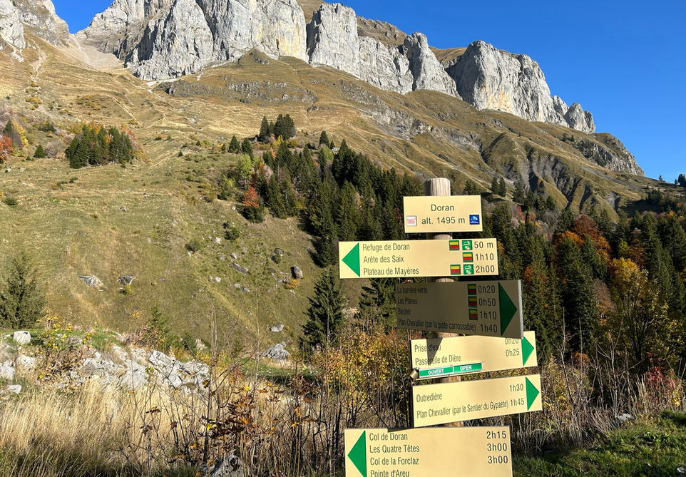
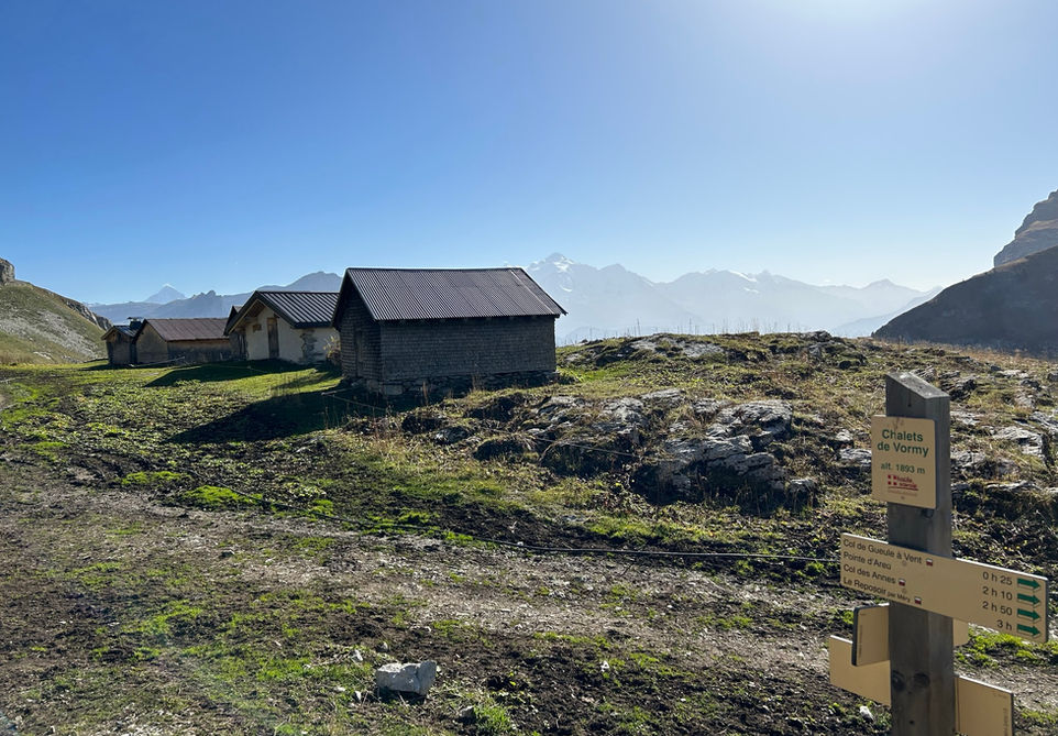
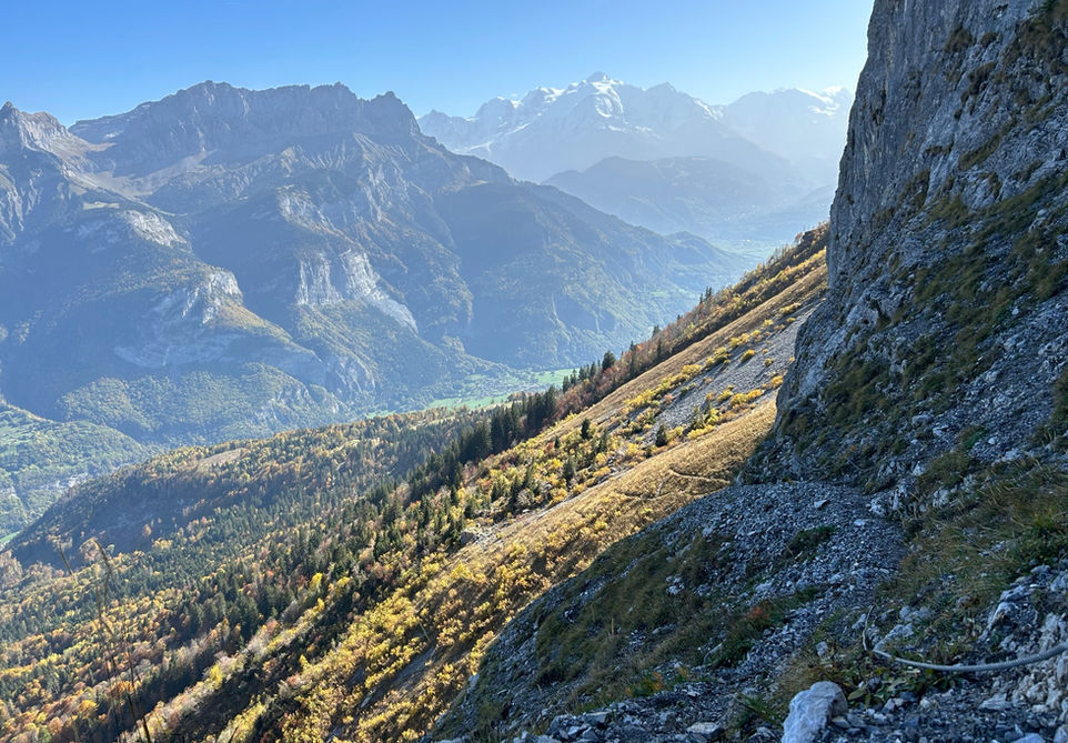
From the Burzier Parking follow the signs for Doran and keep following the signs till you reach the Refuge de Doran. You cannot miss this. At one point you will have a choice of following the 4x4 road that supplies the Refuge or taking a trail on the right. Both will take you to the Refuge. Right after the refuge you will come across the trail marker that indicates Col de la Forclaz. Follow this and you will soon find yourself on the very steep trail up to the Col. After the col, it is a short distance to the Tete du Chateau from where you will have a nice view. Your next destination is the Chalets de Vormy which you will see in the distance. There is just one trail leading there on the right side of the crest. At the trail marker at the Chalets de Vormy you will turn right in the direction of the Chalet de Cherente. There is just one trail to follow here. From the chalets follow the signs for the Passage du Saix. This part is tricky with some handrails as you make your way on the side of the cliff down to the base of the cliffs. The next part gets tricky. The IGN map will show a trail that traverses the foot of the cliff and hooks around back to Refuge de Doran. When I was there this trail was very poorly kept and quite overgrown. I took it anyway but there is a chance that you may run into similar or worst trail conditions. The main trail on the IGN map takes you down further towards Chalets de Mont Ferron after which you would then need to hook back uphill towards Refuge de Doran. If the traverse seems doable then go for it. It seems too hard then take the safer main trail down to Chalets de Mont Ferron and back up. After passing le Saix Noir you will be back at Refuge de Doran and then you can take the same way you took to go back to the Burzier Parking
Points of Interest
Our hiking and trail running trails around Chamonix are chosen for their natural beauty and variety. We also always try to combine as many sights, attractions and points of interests as possible in our trails. Below you will find a list of the points of interests linked to this trail.

